Automatic Delaunay Triangulation
Generate a Delaunay triangulated mesh directly from uploaded terrain point cloud data.
A web-based utility that generates 2D Delaunay triangulation from point cloud data, creates contours on the resulting mesh, calculates mesh volumes, and exports the generated mesh as an STL file.
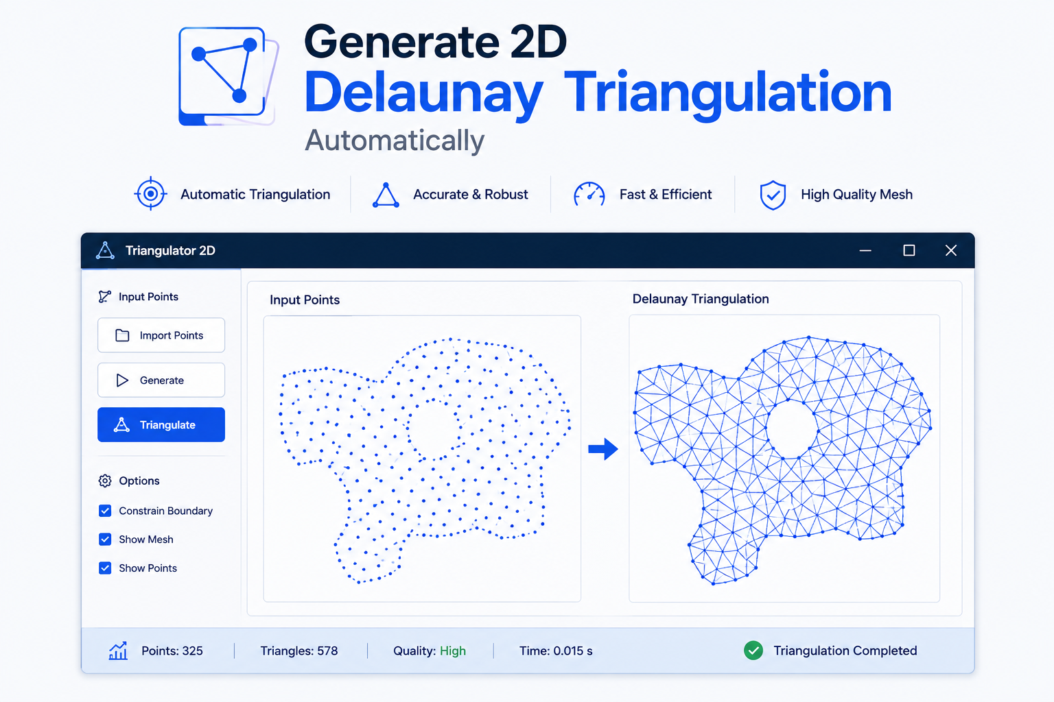
This is an online web-based software utility that generates 2D Delaunay triangulation using point cloud data provided through TXT or CSV files. The utility processes the input points and generates a 2D Delaunay mesh for further analysis.
The utility can generate contours on the Delaunay mesh, allowing users to visualize contour information based on the generated triangulation. It also provides functionality to calculate the volume of the given mesh, including volume above or below a selected contour.
The generated 2D Delaunay mesh can be saved as an STL file using the save option, making the resulting mesh available for further use in engineering and visualization workflows.
See how the 2D Delaunay Triangulation utility converts point cloud data into triangulated meshes, generates contours, analyzes volumes, and exports CAD-ready STL files.
Purpose-built for engineering teams that need accurate triangulation, faster preprocessing, and reliable CAD workflows.
Generate a Delaunay triangulated mesh directly from uploaded terrain point cloud data.
Process terrain point distributions and generate triangulated geometry for engineering analysis.
Create consistent triangulation results from structured TXT and CSV point cloud inputs.
Generate terrain meshes directly in the browser without manual triangulation workflows.
Export the generated terrain mesh as STL geometry for downstream engineering workflows.
Generate and inspect contour information from the resulting Delaunay triangulated surface.
Calculate mesh volume and evaluate volume above or below a selected contour.
Switch between points, surface, wireframe, and surface-with-edges visualization modes.
Explore the interface and visualization workflow used to generate, inspect, analyze, and export 2D Delaunay triangulated meshes from point cloud data.
Replace repetitive triangulation work with an automated workflow that improves speed, consistency, and engineering productivity.
Upload terrain data and interact with Delaunay triangulation directly in your browser. Generate surfaces, inspect geometry, analyze contours and volume, and export your results.
Open the full interactive Delaunay application to upload your terrain dataset, generate triangulation, switch visualization modes, calculate volume, generate contours, and export STL geometry.
Upload CSV or TXT terrain point data directly into the interactive utility.
Generate a Delaunay triangulated surface from your terrain points.
Explore surfaces, wireframes, contours, and calculate terrain volume.
Export generated terrain geometry as an STL file for downstream workflows.